Hiking around the Odiel Mills
Walking among water mills
The start of our route takes place at kilometre 18.250 of the C-421 road that links the towns of Zalamea La Real and Calañas. Once at this point, we cross the bridge that crosses the Odiel River and immediately afterwards, on the left, downstream, we find an abandoned cart track covered in vegetation, where a path parallel to the course of the river has been left, which will narrow as we advance due to the vegetation and the continuous collapses of the adjacent hillside. About 250 metres from the starting point, we see a beautiful fountain (1) covered by vegetation, which is easy to miss, and whose water has not passed health controls, so its consumption is not recommended. At 600 metres into the route, we are struck – on the opposite side to the one we are travelling on – by the presence of a sinkhole and a small cliff that clashes with the surroundings of the hillside completely covered by xerophytic vegetation dominated by cistaceae and some oak trees. This is the old La Morita mine (2), now abandoned, which houses archaeological remains around it.
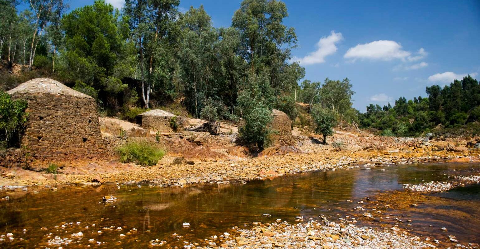
Next, right next to us, like a crack, we see a hole in the hillside with several passages inside that seem to correspond to a mining register (3), very abundant in the area and with which we must take caution. A few metres away, following the path, we cross a stream crossed by a small bridge, at the foot of which several mills appear. This place, known in the area as Molino Batán (4), used the riverbed as energy to grind all kinds of cereals. Next to these ethnographic samples, next to a fig tree, there is a small alder tree in poor condition, possibly one of the last feet of an old riverside vegetation formation.
This path that we follow seems to have been a railway branch of some of the nearby mines that surround the route. Further on, we see a stream full of water with a strong mineral smell that forces us to wade through it with some difficulty. Following the riverbed upstream, we discover the presence of the La Calañesa mine (5). Next, we see the large ruined bridge downstream without leaving the same path that crosses the Odiel again.
200 m before we have left behind a beautiful stream crossed by an imposing bridge that has two bodies of six and three eyes each, over the riverbed (6).
Crossing the bridge over the Odiel, we take the road that follows the course of the Villar riverbank, taking us without problems to the vicinity of the Tinto and Santa Rosa Mines, through an area of reforestation with eucalyptus.
At the same contour line and upstream, we enter the Tinto and Santa Rosa mining-metallurgical complex (7). First, there appears a mineral washing area (8) and large ruined buildings that, next to the Villar riverbank, introduce us to the same mine, this one presents an impressive short (9), today flooded, very colorful and with abandoned buildings in its vicinity, indicating that the mine was exploited until the beginning of the 1940s. From the old town we take the lane that goes up to the left crossing an important eucalyptus forest, which will bring us closer to the C-461, from where we will access the starting point.
